en
en  Az
Az  Ru
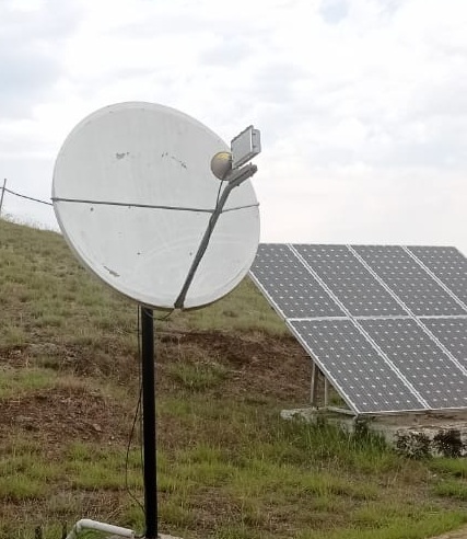
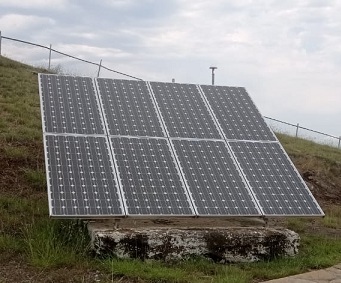
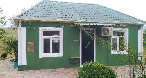
Ru Gazakh seismic station
About the station
 Gazakh is in the western part of Azerbaijan, begins from foothills of Small Caucasus and lasts to the right coast of the Kura, along east part of the extensive Gandzha-Gazakh plain. The area borders in the northwest with Georgian Republic, and in the southwest with Armenian Republic. This area has very various reliefs. Height begins from 100м above sea level from coast of the Kura River, and in the South height reaches 1000м. The highest point is the mountain Odun. Gazakh was based by Arab commander Marvan ibn Mohammed in the 8th century. Gazakh was a sultanate in certain time. In Gazakh there are 112 historical monuments which have worldwide importance. Also among world monuments of history, there is Damjili cave – it is in southeast part of the Avey Mountain, near the Dag Salakhli village. Also in Gazakh there are, the bridge through the river Ekhram constructed in the 12th century, the Albanian temple Avey constructed in 5-6 century at height of 992,5 meters on a young slope of the Avey mountain, the temple constructed in 5-8 century in the bottom Eskipara's territory. As territories of Azerbaijan were captured by Armenia, of all historical monuments, in particular, the ancient bridge in the village Myazyam, were destroyed.